Columns
| Column | Type | Size | Nulls | Auto | Children | Parents | Comments | |||||||||||||||||||||||||||
|---|---|---|---|---|---|---|---|---|---|---|---|---|---|---|---|---|---|---|---|---|---|---|---|---|---|---|---|---|---|---|---|---|---|---|
| site_id | int4 | 10 | √ |
|
|
Primary key (automatically incremented). |
||||||||||||||||||||||||||||
| altitude | numeric(18,10) | 18,10 | √ |
|
|
The altitude of the site in meters above sea level. |
||||||||||||||||||||||||||||
| latitude_dd | numeric(18,10) | 18,10 | √ |
|
|
The latitude of the site in decimal degrees. |
||||||||||||||||||||||||||||
| longitude_dd | numeric(18,10) | 18,10 | √ |
|
|
The longitude of the site in decimal degrees. |
||||||||||||||||||||||||||||
| national_site_identifier | varchar(255) | 255 | √ |
|
|
A unique identifier assigned to the site by the national authority. |
||||||||||||||||||||||||||||
| site_description | text | 2147483647 | √ |
|
|
A detailed description of the site’s characteristics and significance. |
||||||||||||||||||||||||||||
| site_name | varchar(60) | 60 | √ |
|
|
The official or commonly used name of the site. |
||||||||||||||||||||||||||||
| site_preservation_status_id | int4 | 10 | √ |
|
|
Specifies the preservation status of the site, indicating its current condition. |
||||||||||||||||||||||||||||
| site_location_accuracy | varchar | 2147483647 | √ |
|
|
Describes the accuracy of the site’s location resolution, such as ‘Nearest settlement’, ‘Lake’, ‘Bog’, ‘Ancient monument’, or ‘Approximate’. |
||||||||||||||||||||||||||||
| date_updated | timestamptz | 35,6 | √ |
|
|
|||||||||||||||||||||||||||||
| site_uuid | uuid | 2147483647 |
|
|
Indexes
| Constraint Name | Type | Sort | Column(s) |
|---|---|---|---|
| tbl_sites_pkey | Primary key | Asc | site_id |
| unique_tbl_sites_site_uuid | Must be unique | Asc | site_uuid |
Relationships
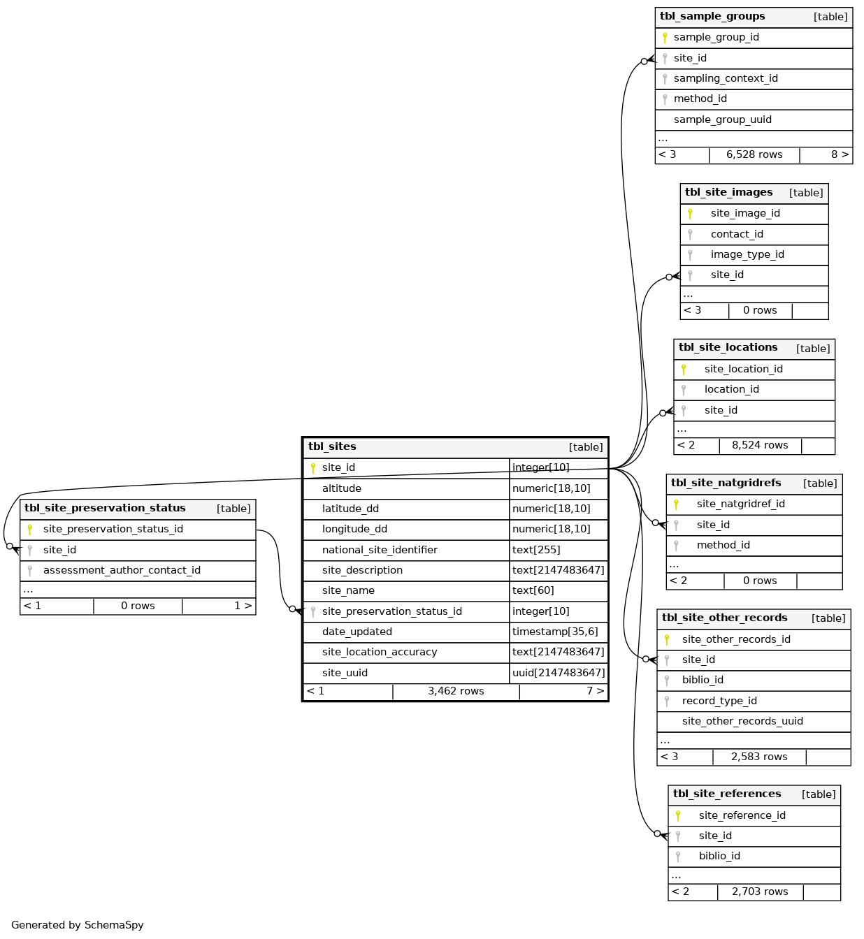
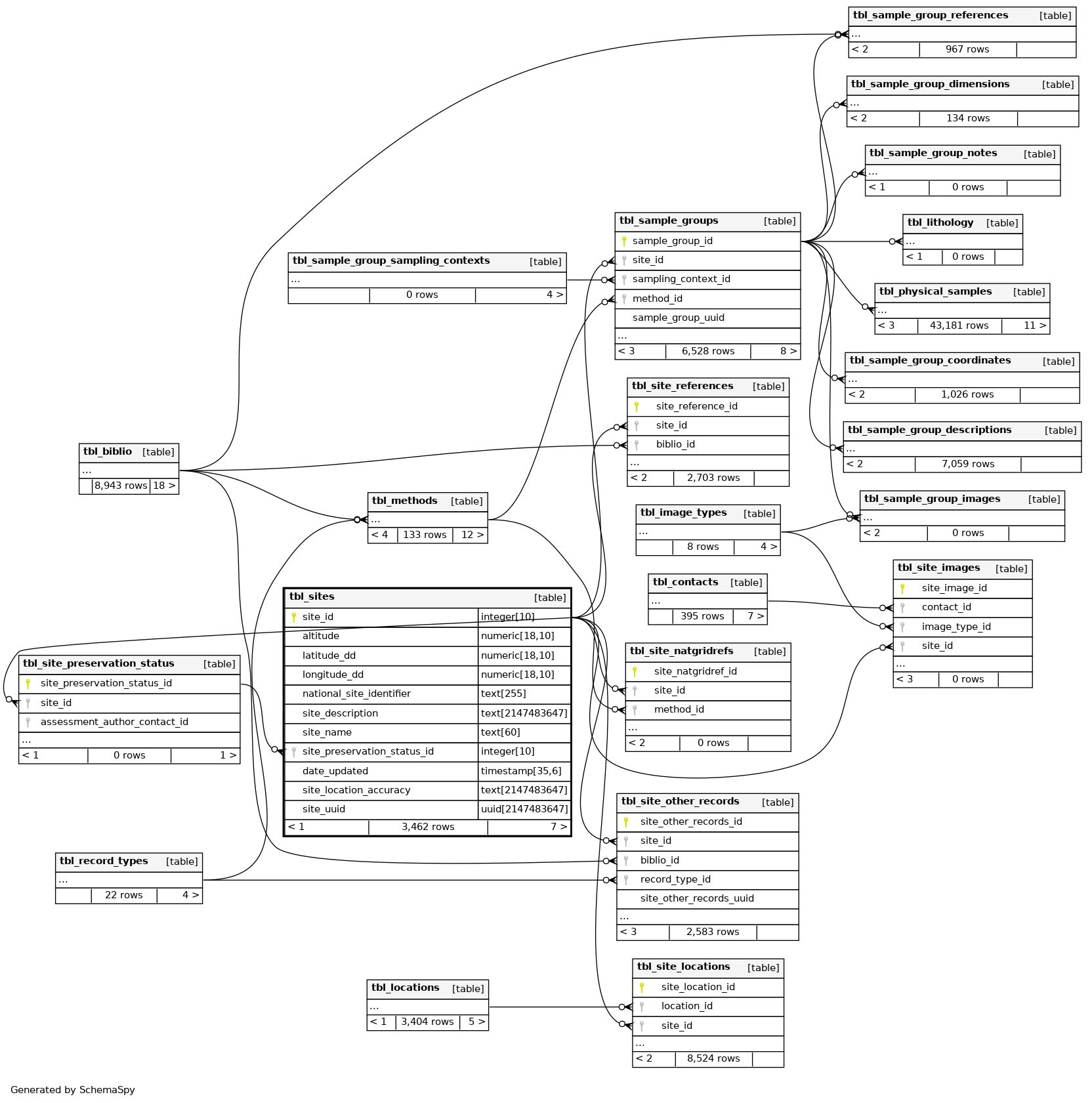
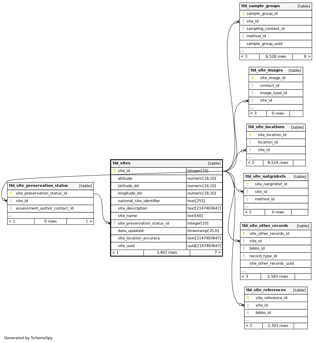
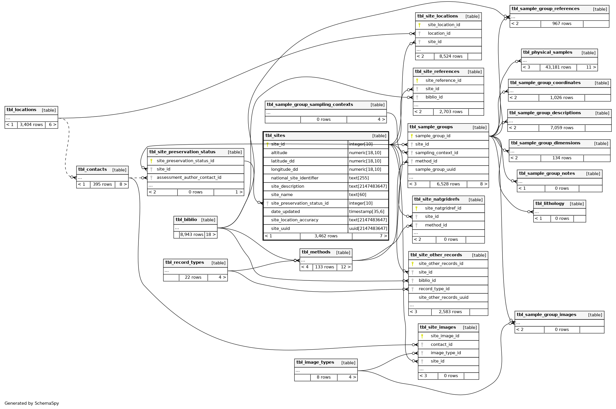
Close relationships within degrees of separation